Public Transport Gateways for Walks in the Eastern Brecon Beacons
A practical guide to Public Transport Gateways for Walks in the Eastern Brecon Beacons.

Why the eastern Brecon Beacons reward a car-free approach
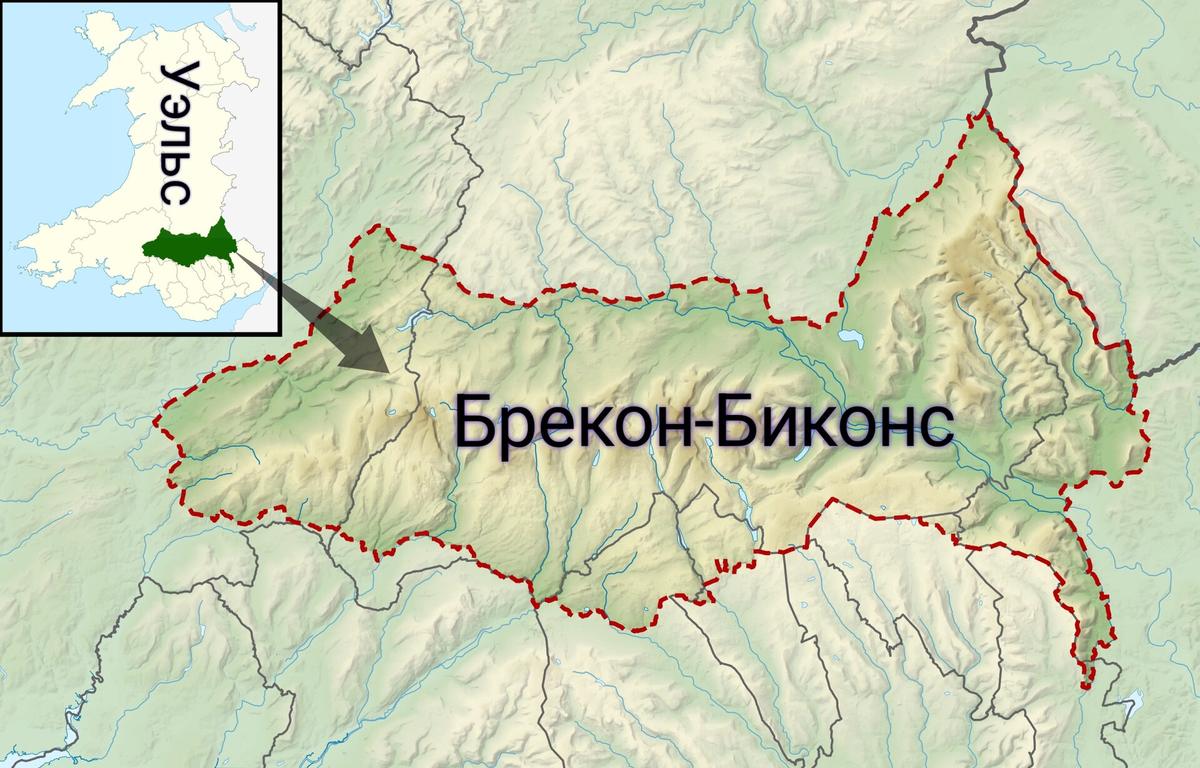
The eastern flank of Bannau Brycheiniog rises abruptly from the Welsh Marches, and its most rewarding walking country sits remarkably close to a mainline railway station. No train crosses the national park itself; the Brecon passenger service closed on the last day of 1962. That single fact shapes every car-free visit, because it means your day on the hill begins not with a car park scramble but with a deliberate transition from rail to trail, or from bus to bridleway.
Abergavenny railway station, on the Welsh Marches Line between Newport and Hereford, is the obvious eastern gateway. Transport for Wales operates the station and runs direct trains from Manchester Piccadilly through to Cardiff Central that call there, typically one per hour in each direction on weekdays. The platform is effectively the trailhead for some of the finest walking in the Black Mountains, and the town centre is close enough that you can shoulder a rucksack and be climbing within half an hour of stepping off the train.
Two hills you can walk to from Abergavenny station
Sugar Loaf and the Skirrid are the two iconic summits immediately accessible on foot from Abergavenny town centre and its railway station. Both are owned by the National Trust and both dominate the skyline in ways that make navigation straightforward on a clear day. Sugar Loaf, known in Welsh as Y Fâl, reaches 596 metres and has a distinctive conical profile that looks far steeper than its graded paths actually deliver. The Skirrid, or Ysgyryd Fawr, tops out at 486 metres and carries a quieter, more brooding character, its ridgeline scarred by a landslip that local folklore ties to the crucifixion.
A practical distinction matters here. The National Trust advises that walks to Sugar Loaf starting from Abergavenny town centre are longer than those from its Llanwenarth car park, and it recommends planning the route in advance. The Llanwenarth car park is not reachable by public transport, so a car-free walker commits to the longer approach from town. That is not a disadvantage; it simply means the day out earns its pub stop. For both hills, a map and a check of the weather forecast are sensible, because the ground above the treeline can hold low cloud even when the Usk Valley sits in sunshine.

The Beacons Way starts at the station door
The Beacons Way, a 159-kilometre long-distance walking route that traverses the full breadth of the national park, begins at Abergavenny railway station. Day one runs 22 kilometres to Llanthony Priory, climbing first over the Skirrid and then up onto Hatterrall Hill. That opening stage is a serious undertaking, not a gentle amble, and it sets the tone for a route that demands respect. But the symbolism is hard to ignore: a national trail that starts at a railway platform is a rare thing in Britain, and it makes a powerful case for leaving the car at home.
Even if you have no intention of walking the full 99 miles, the first section offers a modular day out. You can follow the waymarked route as far as the Skirrid summit and return to Abergavenny, or continue onto the open ridge of Hatterrall Hill and drop back down to the valley via one of the bridleways that thread the eastern scarp. The station start means you are not locked into a circular walk; linear routes become practical because the bus network can return you to your starting point.
Buses that open up the Usk Valley and beyond
The X43 bus, operated by Williams Coaches, runs between Abergavenny bus station and Brecon Interchange via Crickhowell, serving the Usk Valley and the eastern hills. The bus station is a short walk from Abergavenny railway station, so the connection from train to bus is genuinely seamless. Together, the X43 and its sibling route 43 provide approximately hourly journeys between Abergavenny, Crickhowell and Brecon from Monday to Saturday, though the intervals vary because the two route numbers serve different villages. On Sundays the X43 runs a reduced timetable with five journeys in each direction, spaced roughly two hours apart.
This corridor is the spine of a car-free eastern Brecon Beacons visit. You can catch the X43 from Abergavenny, alight at Crickhowell for a walk along the Usk or up Table Mountain, and rejoin the bus later in the day. Or you can ride all the way to Brecon and use the town as a base for exploring the central Beacons. The timetable is not a fixed clockface service, so checking the current schedule before travel is essential. Williams Coaches publishes the latest timetables on its website, and the Sunday schedule in particular can shift between seasons.
An alternative eastern approach via Hereford
Walkers arriving from Manchester, Crewe or the north can consider a different entry point. The X44 bus, operated by Sargeants Brothers, links Hereford railway station with Hay-on-Wye, Talgarth and Brecon. This route provides an alternative eastern approach to the northern Black Mountains, and it makes sense if your train journey naturally brings you through Hereford rather than Abergavenny. The X44 runs roughly every two hours on weekdays between Hereford and Brecon. Sunday services are limited to a handful of departures and operate only between 1 April and 31 October inclusive.
The seasonal Sunday restriction is worth marking in a diary. If you plan a weekend trip outside those dates, the X44 will not be an option on the Sunday leg, and you will need to structure your itinerary around the X43 corridor instead. Sargeants Brothers publishes the full timetable on its website, and checking the current seasonal dates before booking accommodation is a small step that prevents a logistical headache.
Reaching Pen y Fan without a car
Pen y Fan, the highest point in southern Britain, lies further west than the eastern hills covered so far, but it is reachable on a car-free itinerary that starts from the same rail network. The TrawsCymru T4 bus serves the Storey Arms stop at the foot of the Pont ar Daf approach to Pen y Fan, linking Brecon and Merthyr Tydfil. At Merthyr Tydfil the T4 connects with trains from Cardiff, which in turn connect with the Welsh Marches Line services that call at Abergavenny. The result is a workable, if longer, public transport chain from the eastern gateway to the central Beacons high ground.
This is not a quick transfer. The geography of the national park means that a day trip from Abergavenny to Pen y Fan by bus and train involves a significant journey around the southern fringe. The editorial recommendation here is to treat Pen y Fan as a separate base, perhaps staying overnight in Brecon and using the T4 to reach the Storey Arms stop early in the day. Transport for Wales, as the TrawsCymru operator, publishes the current T4 timetable, and seasonal variations between winter and summer schedules are common enough that a check close to your travel date is wise.
Planning a car-free day out: a practical sequence
A successful car-free walk in the eastern Brecon Beacons depends less on luck and more on the order in which you check a few things. Start with the train. Transport for Wales publishes timetables for the Welsh Marches Line, and the hourly weekday pattern to Abergavenny is generally stable, but late-evening departures can thin out. Confirm your return train before you commit to a walk length.
Next, check the bus. The X43 and 43 timetable from Williams Coaches will tell you whether your intended alighting point is served by the faster X43 or the village-stopping 43, and the difference can alter your arrival time by enough to matter. If you are travelling on a Sunday, note the reduced frequency and plan a walk that finishes with a comfortable margin before the last departure. For the X44 via Hereford, the Sargeants Brothers website is the authoritative source, and the seasonal Sunday operating window should be cross-referenced with your travel dates.
Finally, match the walk to the schedule, not the other way around. The National Trust route advice for Sugar Loaf, the Beacons Way stage profiles published by the national park authority, and the simple fact that the Llanwenarth car park is irrelevant to a car-free visitor all point toward choosing a route that fits the available hours. A linear walk from Abergavenny to Crickhowell, using the X43 to return, is a pattern that works repeatedly and flexibly.
Sources and verification
- ontrainsandbuses.com — Research source checked for this guide
- tfw.wales — Research source checked for this guide
- en.wikipedia.org — Research source checked for this guide
- visitwales.com — Research source checked for this guide
- cymraeg.traveline.cymru — Research source checked for this guide
- bannaubrycheiniog.org — Research source checked for this guide
Read next
-

 Brecon Beacons Hotels: Country Houses, Coaching Inns and the Festival Premium
The best hotels in Bannau Brycheiniog are those you can reach by train or bus. Here are the coaching inns and country houses with a bus stop or platform nearby.
-
 Where to Stay in the Brecon Beacons Ranked by What You Can Reach on Foot
The best base in Bannau Brycheiniog is the one where you can lace your boots and walk onto the hill. Here is every town ranked by what leaves from the door.
-
 Flying into Bannau Brycheiniog via Cardiff Bristol and Birmingham
Flying into Bannau Brycheiniog: how to reach the park by train and bus from Cardiff, Bristol and Birmingham airports, with taxi costs where public transport fails.
-
 Things to Do in Bannau Brycheiniog Sorted by Whether You Have a Car
Some of Bannau Brycheiniog's finest walks begin at bus stops. Others require a taxi or a long approach on foot. Here is every major activity sorted by access.
-
 Best Time to Visit Bannau Brycheiniog Month by Month Including Daylight Hours
August brings queues to Pen y Fan's summit, November loses the light by four, and the Royal Welsh Show swallows every bed for miles. Here is the park month by month.
-
 Getting Around the Brecon Beacons Without a Car: What Runs and What Does Not
No bus reaches the trailheads of Bannau Brycheiniog. Here is what the TrawsCymru network does serve, and what to do when the tarmac runs out.
-
 Pen y Fan
 can be climbed from the Storey Arms bus stop on the TrawsCymru corridor, with quieter alternatives from Cwm Gwdi and a long walk-in from Brecon.
-
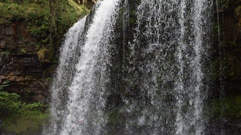 Waterfall Country
's Four Waterfalls Walk is reachable by a long road-walk from the nearest bus stop or by taxi from Abergavenny station, with slippery paths year-round.
-
 Llangorse Lake
 is a short, flat walk from the bus stop on the TrawsCymru corridor from Brecon, with a crannog, bird hides, and watersports at the water's edge.