Brecon Beacons on a Wet Day Waterfalls Caves and Safer Walks
A practical guide to Brecon Beacons on a Wet Day Waterfalls Caves and Safer Walks.

Why wet weather reshapes a visit to the Brecon Beacons
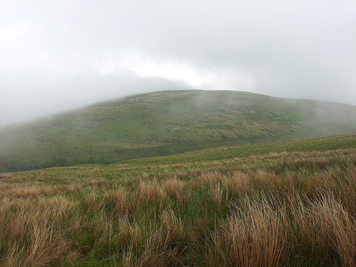
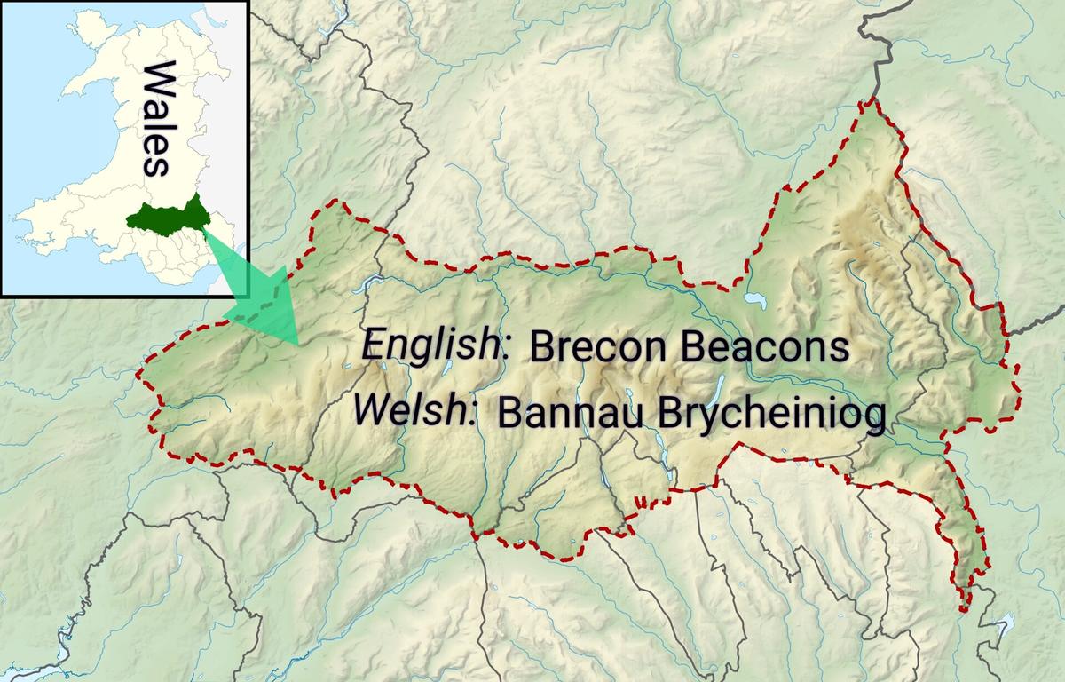
Low cloud and steady rain transform Bannau Brycheiniog. The open ridges that draw walkers on clear days become disorientating and exposed, while the wooded gorges and sheltered valleys on the southern and western fringes come into their own. Waterfall Country, the cave systems and the canal towpaths all offer ways to spend a rewarding day outdoors without committing to a high-level route. The key is to match the outing to what the weather is actually doing, not what you hoped it would do, and to treat every path that runs close to water as a surface that will be greasy underfoot.
Two practical habits make the difference. The first is checking the dedicated Met Office mountain forecast for the Brecon Beacons, which is issued twice daily before 6am and before 6pm and covers wind speed, temperature, feels-like temperature, cloud base, visibility and precipitation at different altitudes, with hazard assessments for ground at or above 300 metres. The second is speaking to the National Trust Welcome Team at Pont ar Daf car park before setting out onto the central massif, because they can give an update on current conditions that no forecast issued hours earlier can capture. If the cloud base is sitting low on the hills, the sensible choice is to drop into the trees.
Waterfall Country and the Four Falls Trail
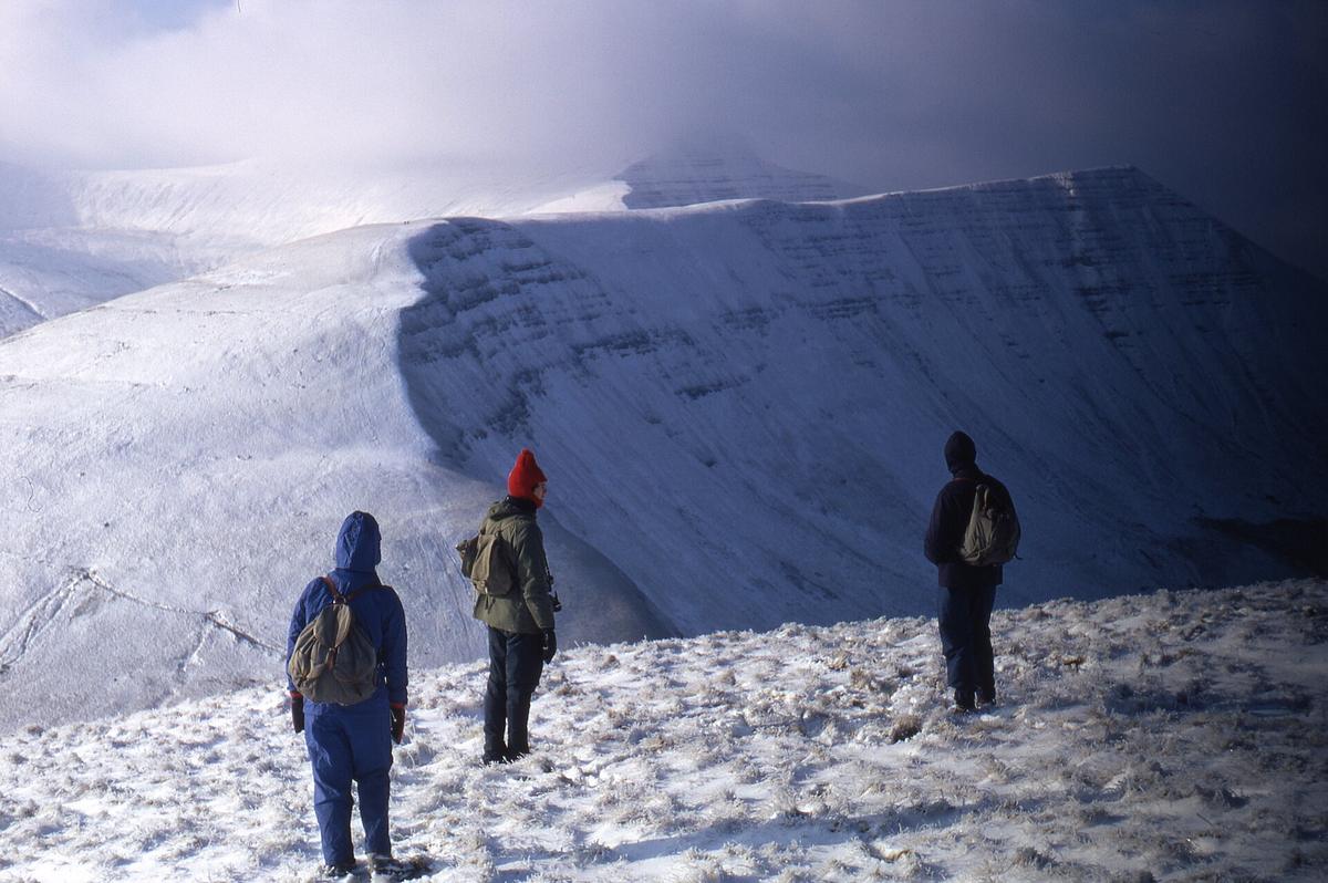
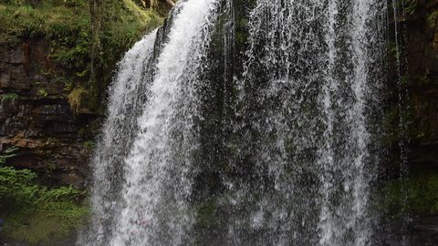
The south-western edge of the National Park holds a concentration of cascades where the rivers Mellte, Hepste, Pyrddin and Nedd-fechan cut through deep tree-lined gorges before joining to form the River Neath. This is Waterfall Country, and it is at its most theatrical in wet weather, when every fall is full and spray hangs in the air between the trees.
The Four Falls Trail is a waymarked circular route that takes in Sgwd Clun-Gwyn, Sgwd Isaf Clun-Gwyn, Sgwd y Pannwr and Sgwd yr Eira. The main circular path is generally wide, with a stone surface and gentle gradients, which makes the going between the falls reasonably straightforward. The link paths that drop down to each waterfall are a different proposition: narrow, unsurfaced, steep and slippery, with many steps. At Sgwd yr Eira, the Waterfall of Snow on the Afon Hepste, a rough path leads behind the curtain of water. The path is exceptionally slippery and visitors are almost guaranteed to get wet, which on a rainy day is largely academic but still worth knowing before you commit to the descent.
Car parking for the trail is at Gwaun Hepste, where the car park is small, gets very busy and is often full before midday. Payment is by card only. If you are planning a weekend visit, arriving early is a practical recommendation rather than a guarantee of a space. The decision to attempt the full loop or simply visit one or two falls and retrace your steps is worth making based on how the link paths feel underfoot on the day.


Henrhyd Falls and the walk behind the cascade
Henrhyd Falls, managed by the National Trust near Coelbren, is the highest waterfall in South Wales at 90 feet. A path allows visitors to walk behind the cascade, and the experience is close and loud. The spray keeps the ground slippery regardless of whether rain is falling, so the same caution required at Sgwd yr Eira applies here. Because Henrhyd sits slightly apart from the tight cluster of Waterfall Country, it can feel quieter, though the National Trust does not publish visitor numbers and no direct comparison of crowding can be drawn from the available facts. The walk to the falls is shorter than the full Four Falls circuit, which makes it a useful option when daylight is limited or the weather is due to worsen later.
Caves for all-weather shelter
Two very different underground experiences sit within reach of each other. Porth yr Ogof, accessed from the Cwm Porth car park, is the largest cave entrance in Wales at 20 metres wide and 3 metres high. Visitors can stand in the main entrance and take in the scale of the opening, but the further reaches are hazardous and have been the site of at least 11 fatalities. The National Park Authority is explicit that deeper exploration should only be undertaken with a qualified guide. Standing at the mouth of the cave on a wet day gives you a dramatic view out into the rain-soaked trees, but the line between safe observation and dangerous curiosity is a hard one.
For a controlled underground visit, the National Showcaves Centre for Wales at Dan-yr-Ogof in the Upper Swansea Valley offers three self-guided showcaves: Dan-yr-Ogof, Cathedral Cave and Bone Cave. The internal temperature stays at a constant 10°C regardless of outside weather. A single ticket also covers indoor and outdoor play areas, a dinosaur park, a museum and a farm. Admission prices and the requirement to book online in advance should be checked directly with the operator before travelling, because prices may change.
Low-level walking when the hills are closed in
When cloud obscures the high ground, two linear routes offer walking that is sheltered, scenic and far less exposed to wind and poor visibility. The Monmouthshire and Brecon Canal towpath runs for 35 navigable miles between Brecon Basin and Pontymoile Basin. The towpath is generally flat and of compacted soil or gravel. The first two miles out of Brecon are surfaced and genuinely wheelchair and pushchair friendly, which is a stated fact from the National Park Authority, not an estimate. Beyond that, the surface reverts to compacted soil and gravel, which will soften in prolonged rain but remains passable with appropriate footwear.
The Taf Fechan riverside walk near Merthyr Tydfil is an 8 km moderate-grade route through a nature reserve with gorges and waterfalls. The first 200 metres are tarmac and accessible to scooters and wheelchairs, though the path beyond can be muddy and slippery, especially in winter. On a wet day the waterfalls along the route will be running strongly, and the tree cover provides some shelter, but the mud is a genuine factor to weigh up.
A steam train ride as a weather shelter
The Brecon Mountain Railway runs steam-hauled trains from Pant Station into the National Park alongside the Taf Fechan Reservoir to Torpantau. The return journey takes approximately 1 hour 40 minutes including a 35-minute stop at Pontsticill, and the enclosed Heritage Cars provide shelter from the weather. This makes the railway a practical choice when rain is persistent and you still want to see the landscape without committing to a long walk. Operating days, departure times and the steam locomotive roster are subject to change, so checking the timetable directly with the operator before setting out is essential. The main season typically runs from late March to the start of November, but the exact dates and the number of daily departures should be confirmed rather than assumed.
Staying safe and making the call
Every outing in the Brecon Beacons on a wet day benefits from a deliberate go or no-go decision at the point where the surfaced path ends or the cloud base drops. The mountain weather forecast, updated twice daily, is the single most important piece of information to consult, and the National Trust team at Pont ar Daf can add real-time ground truth. In an emergency anywhere in the Brecon Beacons, call 999 and ask for the police and Mountain Rescue. A whistle can also be used to signal distress with six long blasts, a one-minute pause, then repeat. Carrying one in a pocket rather than buried in a rucksack is a small precaution that costs nothing.
The wet-day Brecon Beacons are not a compromise. They are simply a different version of the landscape, louder and greener and often empty of people. The waterfalls are at their best, the caves offer dry ground and a constant temperature, and the low-level paths hold their own kind of quiet. The only requirement is to choose the right place for the conditions and to know where the reliable information lives before you leave the car.
Sources and verification
- beacons-npa.gov.uk — Research source checked for this guide
- naturalresources.wales — Research source checked for this guide
- visitwales.com — Research source checked for this guide
- nationaltrust.org.uk — Research source checked for this guide
- beacons-npa.gov.uk — Research source checked for this guide
- showcaves.co.uk — Research source checked for this guide
Read next
-

 Brecon Beacons Hotels: Country Houses, Coaching Inns and the Festival Premium
The best hotels in Bannau Brycheiniog are those you can reach by train or bus. Here are the coaching inns and country houses with a bus stop or platform nearby.
-
 Where to Stay in the Brecon Beacons Ranked by What You Can Reach on Foot
The best base in Bannau Brycheiniog is the one where you can lace your boots and walk onto the hill. Here is every town ranked by what leaves from the door.
-
 Flying into Bannau Brycheiniog via Cardiff Bristol and Birmingham
Flying into Bannau Brycheiniog: how to reach the park by train and bus from Cardiff, Bristol and Birmingham airports, with taxi costs where public transport fails.
-
 Things to Do in Bannau Brycheiniog Sorted by Whether You Have a Car
Some of Bannau Brycheiniog's finest walks begin at bus stops. Others require a taxi or a long approach on foot. Here is every major activity sorted by access.
-
 Best Time to Visit Bannau Brycheiniog Month by Month Including Daylight Hours
August brings queues to Pen y Fan's summit, November loses the light by four, and the Royal Welsh Show swallows every bed for miles. Here is the park month by month.
-
 Getting Around the Brecon Beacons Without a Car: What Runs and What Does Not
No bus reaches the trailheads of Bannau Brycheiniog. Here is what the TrawsCymru network does serve, and what to do when the tarmac runs out.
-
 Pen y Fan
 can be climbed from the Storey Arms bus stop on the TrawsCymru corridor, with quieter alternatives from Cwm Gwdi and a long walk-in from Brecon.
-
 Waterfall Country
's Four Waterfalls Walk is reachable by a long road-walk from the nearest bus stop or by taxi from Abergavenny station, with slippery paths year-round.
-
 Llangorse Lake
 is a short, flat walk from the bus stop on the TrawsCymru corridor from Brecon, with a crannog, bird hides, and watersports at the water's edge.